
Catalogue / DJI/DJI Enterprise
Product
Who it’s forLand surveyors, quarry and construction contractors and utility mappers who need point clouds under tree cover or at night, where photogrammetry falls short.
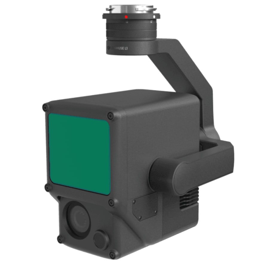
LiDAR and RGB survey payload for the Matrice 300 RTK, capturing true-colour 3D point clouds directly rather than reconstructing them from photographs.
| Range | Detection range 450 m @ 80% reflectivity, 0 klx; 190 m @ 10% reflectivity, 100 klx |
|---|---|
| Sensor / output | LiDAR module supporting up to 3 returns, plus a 1-inch 20 MP RGB mapping camera (8.8 mm / 24 mm equivalent) and a 1280x960 auxiliary positioning vision sensor; outputs true-colour point clouds |
| Compatible aircraft | Matrice 300 RTK (DJI SKYPORT detachable mount). The Matrice 350 RTK specification page also lists the Zenmuse L1 as a supported gimbal. |