Catalogue / DJI/DJI Enterprise
Product
Who it’s forFor agronomists, precision-farming consultants and land surveyors producing NDVI and crop-health maps, where centimetre-level positioning and repeatable data across seasons are the point.
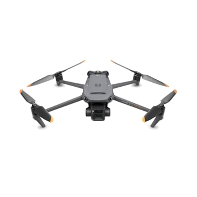
Multispectral survey drone with a 20MP RGB camera, four 5MP spectral cameras and RTK, sold with a year of DJI Care Enterprise Basic.
| Camera | RGB camera: 4/3 CMOS, 20 MP effective pixels, FOV 84°, 24 mm equivalent, f/2.8-f/11. Multispectral camera: four 1/2.8-inch CMOS sensors, 5 MP effective pixels each, FOV 73.91°, 25 mm equivalent, f/2.0; bands green 560 ± 16 nm, red 650 ± 16 nm, red edge 730 ± 16 nm, near infrared 860 ± 26 nm |
|---|---|
| Weight | 951 g (net weight with propellers and RTK module) |
| Max range | FCC: 15 km; CE: 8 km; SRRC: 8 km; MIC: 8 km (max effective signal distance, unobstructed, no interference). Approx. 1.5–3 km in urban interference |
| Flight time | 43 minutes (without wind) |
| Max wind speed | 12 m/s |
| Obstacle sensing | Omnidirectional binocular vision system, with an infrared sensor at the bottom of the aircraft. Distance measuring ranges: forward 0.5-20 m (detection range 0.5-200 m), backward 0.5-16 m, lateral 0.5-25 m, upward 0.2-10 m, downward 0.3-18 m |