Catalogue / DJI/DJI Enterprise
Product
Who it’s forSurvey and geospatial firms producing large-area topographic data, and utilities modelling power corridors, who need dense point clouds from a single aircraft.
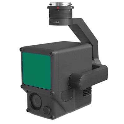
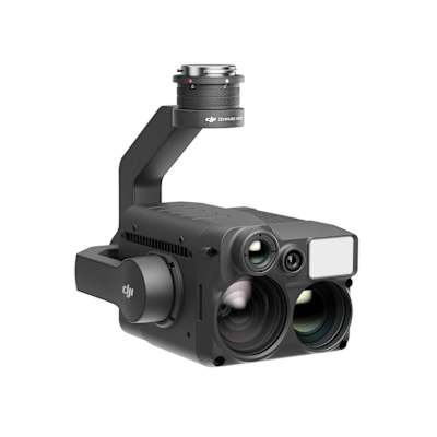
Long-range aerial LiDAR payload for the Matrice 400 with dual 100MP mapping cameras, bundled with a year of repair cover.
| Range | Detection range 700 m @ 10% reflectivity, 350 kHz; 950 m @ 10% reflectivity, 100 kHz; 2000 m @ 80% reflectivity, 100 kHz. Maximum detection range is 900 m by default. Minimum effective detection distance 10 m. Wire detection: 300 m @ 100 klx, 350 kHz for 21.6 mm steel-core aluminium stranded wire; 100 m for 18.4 mm black PVC insulated wire |
|---|---|
| Sensor / output | 1535 nm LiDAR, Class 1 (IEC 60825-1:2014), up to 16 returns, plus dual RGB mapping cameras with 4/3 CMOS sensors (28 mm equivalent, f/2.0-f/11); photo size 100 MP 12288x8192 or 25 MP 6144x4096 |
| Compatible aircraft | DJI Matrice 400 (requires the Zenmuse L3 single gimbal connector) |