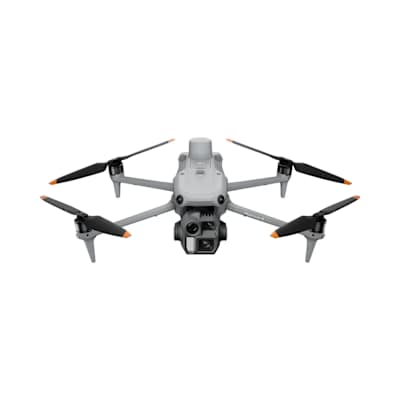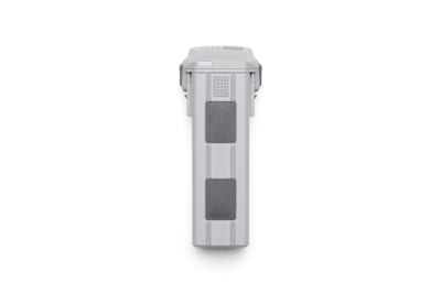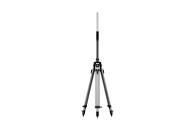
Catalogue / DJI/DJI Enterprise/Matrice 4 Series
Product
Who it’s forFor land surveyors, civil engineers and mapping contractors flying Matrice missions who need repeatable, accurate coordinates and extended signal reach across a site.
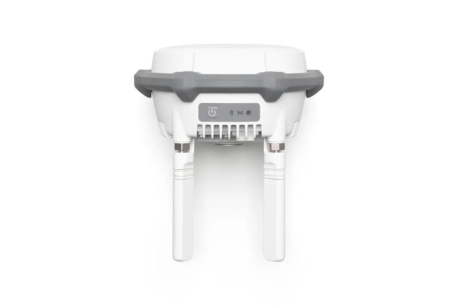
IP67 GNSS station that works as an RTK base, signal relay or survey rover, delivering centimetre-level positioning to DJI enterprise aircraft.
| Range | Up to 40 km (FCC) / 20 km (SRRC, CE, MIC) unobstructed and free of interference. Approx. 1.5–5 km in city centres with strong interference; approx. 0–0.5 km obstructed by buildings |
|---|---|
| Sensor / output | Multi-constellation GNSS receiver - GPS L1C/A, L2C, L5; BDS B1I, B2I, B3I, B1C, B2a, B2b; Galileo E1, E5a, E5b, E6; GLONASS L1, L2; QZSS L1C/A, L2C, L5; L-Band. Works as base station, relay station or survey rover. |
| Compatible aircraft | Base station mode: Matrice 400, 4E, 4T, 4D/4TD, 3D/3TD, 300/350 RTK, Matrice 30 Series, Mavic 3 Enterprise Series, FlyCart 100, T60, T50/T25, T40/T20P, FlyCart 30, and Inspire 3 (manual calibration only). Relay station mode: Matrice 400, 4E, 4T, 4D/4TD, FlyCart 100 |