Catalogue / DJI/DJI Enterprise/Matrice 4 Series
Product
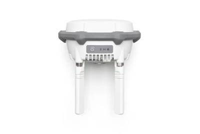
Who it’s forFor land surveyors, quarry operators and construction site managers producing orthomosaics and volume reports, typically pairing it with the D-RTK 3 station sold alongside.
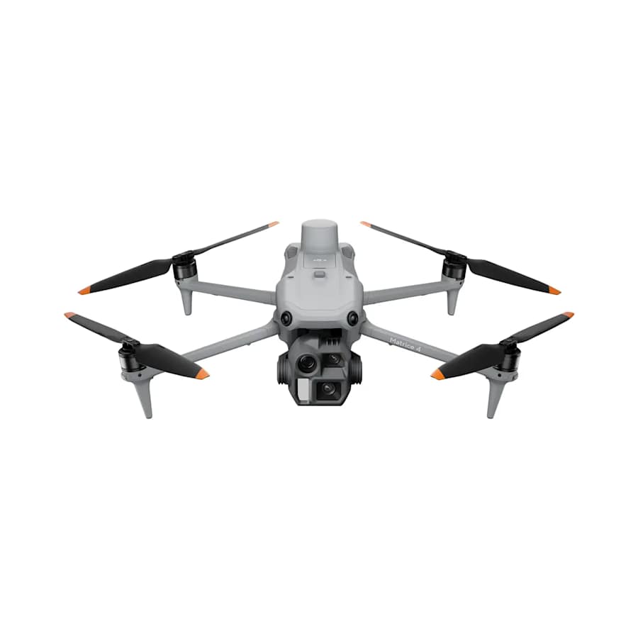
Survey-focused Matrice 4 with a 20MP 4/3 wide camera and two tele lenses, no thermal, built for mapping and photogrammetry.
| Camera | Wide: 4/3-inch CMOS, 20 MP effective pixels, FOV 84°, 24 mm equivalent, f/2.8-f/11 (mechanical shutter 2-1/2000 s). Medium tele: 1/1.3-inch CMOS, 48 MP, FOV 35°, 70 mm equivalent, f/2.8. Telephoto: 1/1.5-inch CMOS, 48 MP, FOV 15°, 168 mm equivalent, f/2.8 |
|---|---|
| Weight | 1219 g (takeoff weight with standard propellers); 1229 g (with low-noise propellers) |
| Max range | 25 km (FCC); 12 km (CE); 12 km (SRRC); 12 km (MIC), unobstructed and free of interference. Approx. 1.5–5 km in urban interference |
| Flight time | 49 min (standard propellers); 46 min (low-noise propellers), without wind |
| Max wind speed | 12 m/s (max wind speed resistance during takeoff and landing) |
| Obstacle sensing | Omnidirectional binocular vision system, supplemented with a 3D infrared sensor at the bottom of the aircraft. Forward: binocular measurement range 0.4-22.5 m, measurement range 0.4-200 m, obstacle avoidance speed ≤21 m/s, FOV 90° (horizontal), 135° (vertical). Backward: measurement range 0.4-22.5 m and 0.4-200 m, obstacle avoidance speed ≤21 m/s, FOV 90° (horizontal), 135° (vertical) |